LiDAR Lines to great Designs!
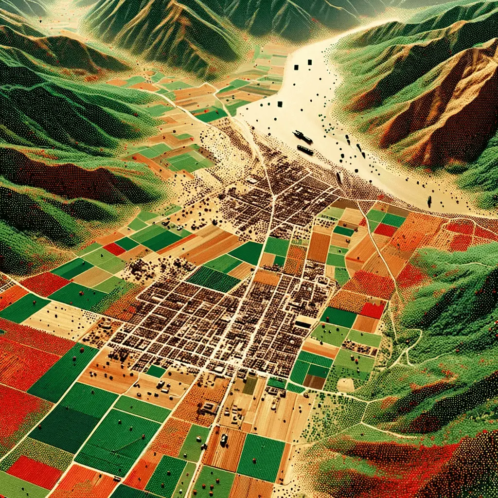
Geoswift processes raw LiDAR data to create Digital Terrain Models (DTM) and Digital Surface Models (DSM). Our process includes flight line matching to correct strip mismatches, ensuring accurate data integration. We classify LiDAR data to identify terrain, buildings, vegetation, and other features, crucial for producing precise DTMs and DSMs.
These models are vital for applications in urban planning, environmental monitoring, and infrastructure development. Choose Geoswift for reliable and precise LiDAR data processing, delivering high-quality terrain and surface models.
